Coppice Grove
View across to Polesden Lacey from path leading to Tanners Hatch
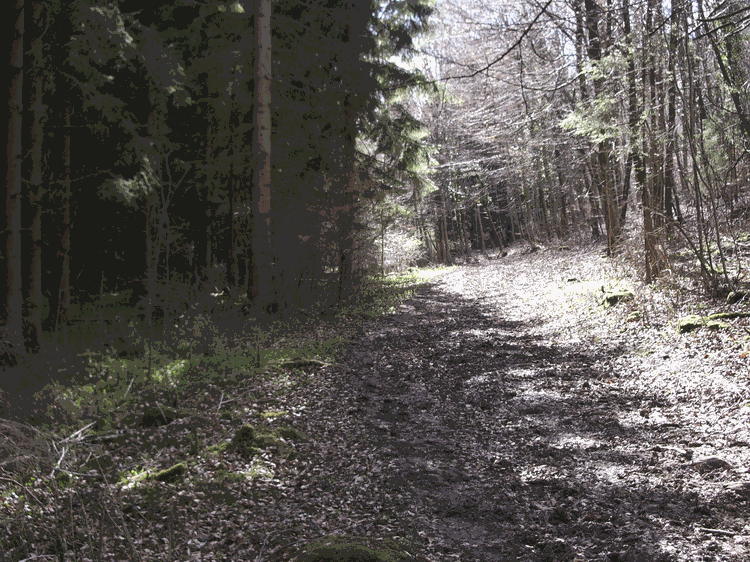
Path past Pine Grove in Ranmore Woods
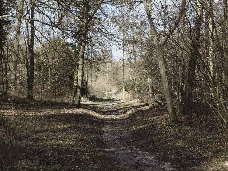
Path from Ranmore Common to Tanners Hatch
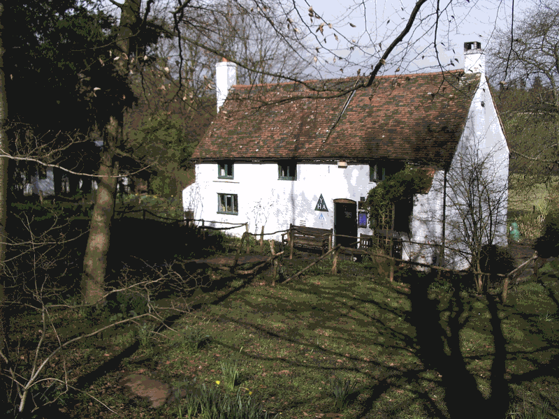
Tanners Hatch Youth Hostel
Rambles over Ranmore Common
I have always thought that Surrey countryside is a curious blend of both ancient and new. If you’re looking for gentle paths through idyllic woodland, complete with pheasant, deer and scurrying rabbit, you can do no better than a visit to Ranmore Common.
The Common itself is part of the North Downs Way, the great chalk ridge that runs from Farnham in Surrey to Folkestone in Kent. This line of hills is associated with the Pilgrims Way, the route that medieval travellers would take from Winchester to Canterbury. I have sometimes wondered why pilgrims would want to walk over the top of a hill, but it may be that, in days of yore, such paths were less prone to flooding and generally safer.
Walking boots are useful as this walk does have a few muddy parts, even in the finest weather.
Ranmore Common rises up above the town of Dorking. The start point for the walk can easily be reached from the A24 in Dorking by going west along Ashcombe Road (A2003), continuing ahead at a mini roundabout and then turning right up onto Ranmore Common Road. Carry on up the hill until the road starts to level out, and you will see the car park on the left (1).
From the car park, it is worth taking a look at the spectacular view of Leith Hill to the south. At this point you are about 600 feet above sea level, and below you is the Tillingbourne Valley, together with the villages of Albury, Shere, Gomshall and Abinger Hammer.
Cross over Ranmore Common Road onto a wide grass verge/ride, but do take care as cars can travel very fast here. The woods of Ranmore Common are ahead of you. Turn left and walk along the Common. The ground is gently undulating. The four houses on your right are named Fox Cottages. Sometimes, walking sticks are for sale outside No. 4, so take some cash if you feel in need of support.
Carry on along the Common for about a third of a mile, past gorse and holly. The path dips down, and ahead you’ll see a stony track. In the hollow, just before you reach this track, take the grassy path to the right that leads into the woods (2).
Here you will see many different trees (including beech, horse chestnut, oak, hazel, holly and yew) all growing together at different stages of their lives. The National Trust (which owns much of the Common) has done a great deal of work in planting and cutting, but the old wood is still very much there.
Keep on straight down the track, which eventually levels out and then starts to climb upwards. Here the path has been reinforced with woodchips and to your left you will see a plantation of beech saplings. Once upon a time, this valley was used for coppicing hence the name "Polesden" meaning "Valley of the Poles".
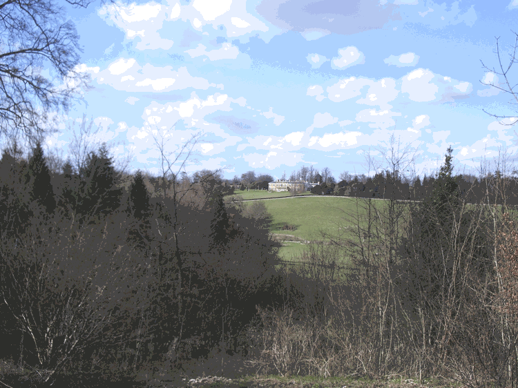
As the path levels out again, to your left there is a superb view of Polesden Lacey across the valley. This, one of the finest country houses in Surrey, is now owned by the National Trust and has its own annual festival in July.
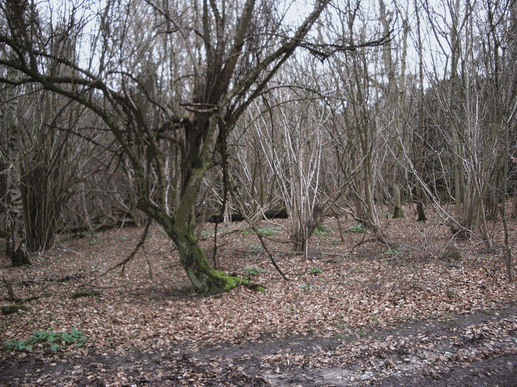
The woodchip path winds through the woods and leads you to Tanner’s Hatch (3), one of the very first youth hostels in the United Kingdom. Continue past Tanner’s Hatch, along the path (Connicut Lane) which now turns down to the bottom of the valley. At this point, go through the gate to your right (4), into a large field with a solitary oak ahead. Keep an eye on the edges of the field. You are being watched by the local rabbits.
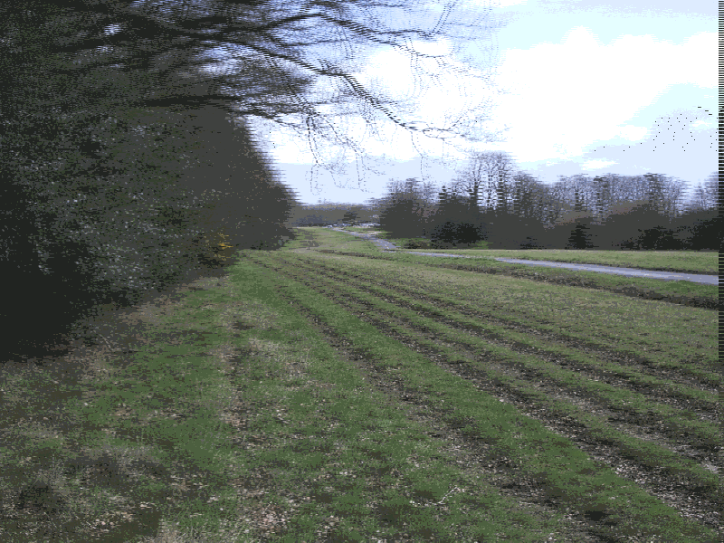
Cross the field. Go through the gate, past an old stone barn, and then turn right at the junction with the path (5). Bear right again into the field (Ranmore Woods are ahead). At the far side of the field, go through another gate and back into the woods (6).
Once through the gate, the track forks again - repeatedly. Continue to bear left whenever you encounter a junction. Soon, you will reach a plantation of conifers on the left. Sometimes, if you listen carefully, you can hear the high pitched song of goldcrests. Continue along this path, continuing to bear left at junctions, and eventually you will emerge onto the top of Ranmore Common, just behind the Old Post Office (7). The car park is to your right, but if you have a spare moment or two, turn left instead, and take a look at the beautiful church of St Barnabas. In spring, the air here is also filled with the scent of bluebells.
There are a multitude of paths all over the Common, some of which are barely walked. You can go from bluebell woods to pine trees in a minute, and then find yourself standing the middle of some ancient oak grove. All in all this woodland is an enchanting place and I hope that readers will take the time to give it a visit.
Distance: approx 3Ľ miles
Time: allow 1˝ hours
Ordnance Survey Explorer Map no. 146 (Dorking, Box Hill and Reigate)
Start/Finish: National Trust Pay & Display Car Park on Ranmore Common (NGR: TQ141503)
|
|
|
|
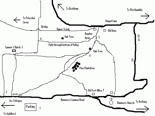
| View along top of Ranmore Common looking back towards car park | Coppice Grove |
|
|
View across to Polesden Lacey from path leading to Tanners Hatch |
Path past Pine Grove in Ranmore Woods |
|
|
Path from Ranmore Common to Tanners Hatch |
Tanners Hatch Youth Hostel |
Copyright @ Malcolm Johnson 2007